Geotex
GeoTex is a minimal Python wrapper that exposes the UV atlas generation functions from Geogram. Given a triangulated 3D mesh, it produces per-corner UV coordinates packed into a …
•
1 min read
GeoTex is a minimal Python wrapper that exposes the UV atlas generation functions from Geogram. Given a triangulated 3D mesh, it produces per-corner UV coordinates packed into a …
Python bindings for [Instant Meshes](https://github.com/wjakob/instant-meshes), a tool for automatic remeshing of 3D surfaces. Also available on …
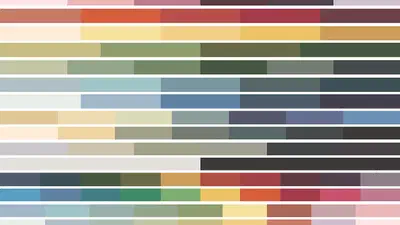
A set of British paint manufacturer Farrow & Ball inspired color maps for matplotlib. The maps are sorted in categories for different plotting needs (Divergent, Spectral, Base …